Trails: Wolf Creek
Details
- Location: Alpine, WY
- Length: 1 mi (Winter)
- Water Access: Yes (Winter)
- Usage: Light (Winter)
- Highlights: Limestone escarpments, pine forest cover
- Safety Concerns: Winter avalanches, embankments too steep for safe winter hiking. River crossings.
In February, we found much of the nearby trails around Jackson, WY either packed or simply closed off from excursions. This has become a recurring theme in Jackson and one that is getting rather tiresome. We turned to looking westward and in turn into the Snake River Range between Hoback and Alpine, WY.
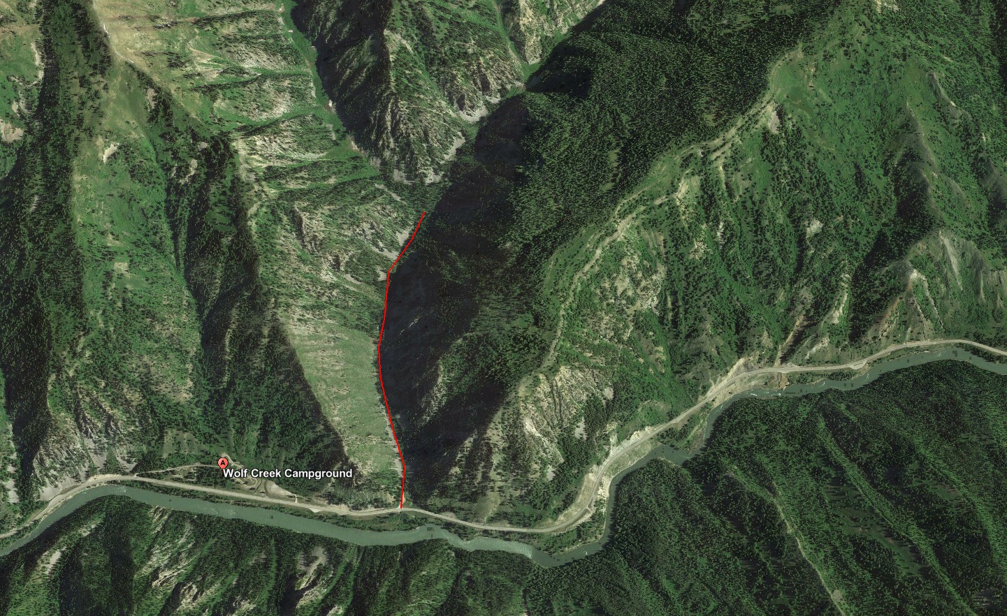
The canyon is rather steep walled, but a number of drainages into the canyon have trailheads – Red Creek, Wolf Creek, and East Table Creek. The turn offs in the winter are plowed allowing for year-round access and most importantly they are outside of the winter range closures.
Directions
In our first venture we tried the Wolf Creek Trail which is located some 16 miles west of Hoback and before the Wolf Creek campground.
February Conditions
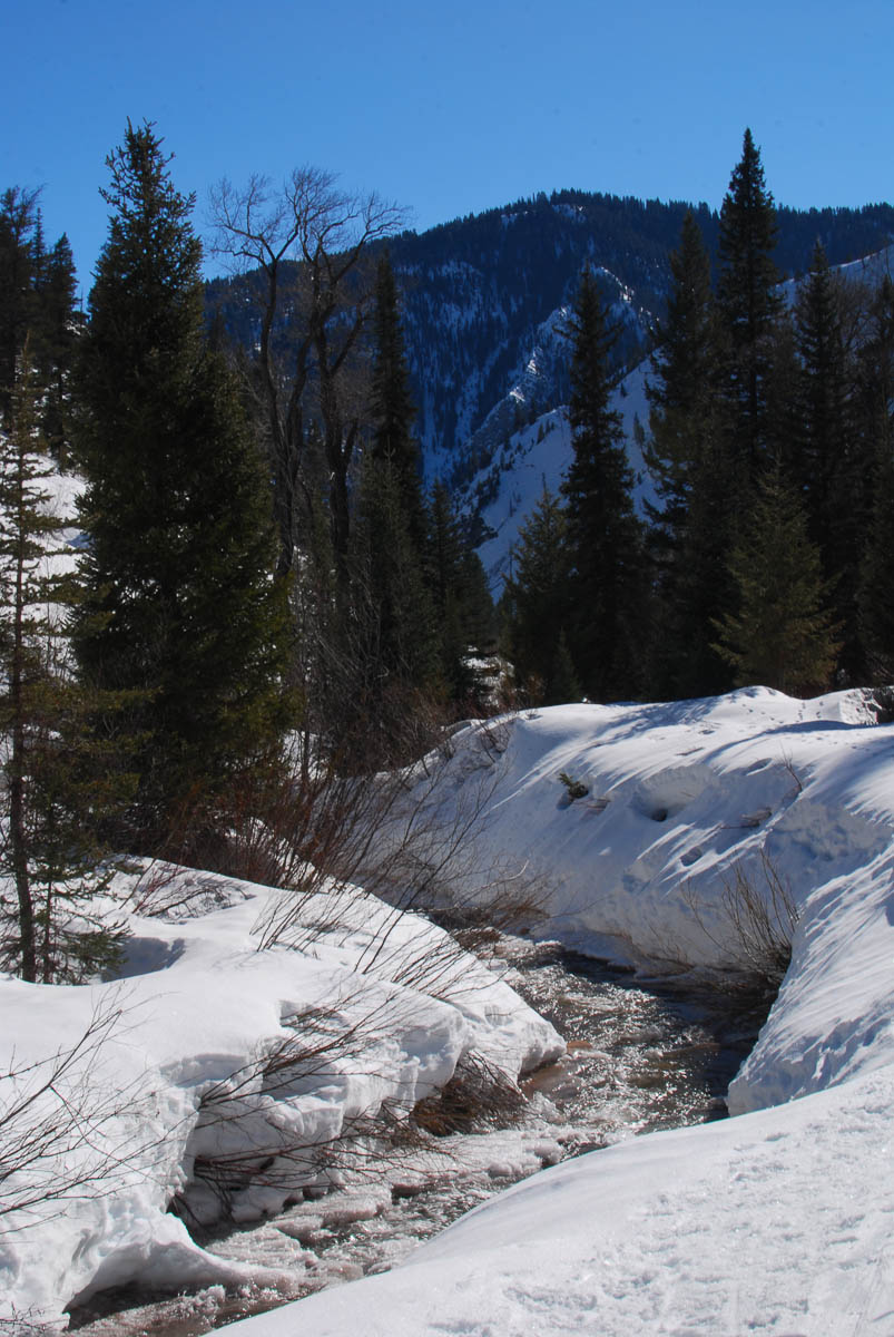
We were unable to complete the trail in February. We got roughly one mile up the drainage with snow shoes before turning back. This was, in large part, due to the burn on the west side of the drainage. This leaves the landscape open for avalanches, of which there were many. A hiker with a more aggressive “mountaineering” shoe may make the trip, but our wide flat-lands snow shoes were insufficient.
The avalanches left large piles of breakdown crossing the trail. This required a great deal of scrambling over five-foot wide bricks of snow not unlike scrambling over cave breakdown. In other areas the snow bank was simply a steep, smooth layer of ice that slide down the hill into the river. In these instances it was difficult to get a sound perch as our snow shoes’s claws were not enough to keep us from sliding down hill.
The draw is rather pretty, featuring limestone escapements, pine forest, and a ready supply of water via Wolf Creek. The maps show that it is possible to ascend Wolf or Red mountain via this route. We shall try it again come spring or summer once the snow recedes enough to walk upon a flat trail.